Technology
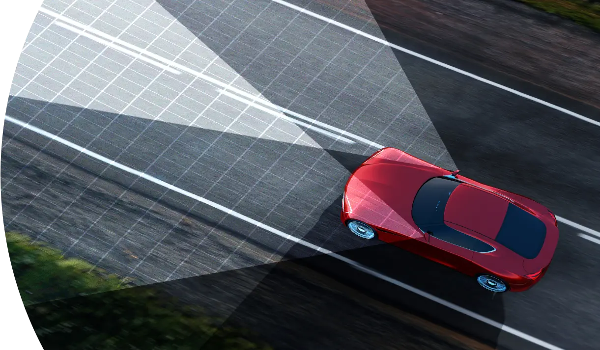
Foresight’s technology uses 3D video analysis and advanced algorithms for accurate obstacle detection and 360° perception in harsh conditions, customizable for ADAS and autonomous vehicles. It combines stereo visible-light cameras with thermal long-wave infrared sensors for depth perception and a clear 3D view.

Technology
Foresight has developed a unique stack of software solutions based on stereo vision sensors. Our advanced vision for autonomous vehicles is achieved by fusing stereo visible-light cameras with thermal long-wave infrared sensors that provide depth perception and obtain a clear 3D view.

Stereoscopic Technology
Stereoscopic vision technology uses two synchronized cameras to generate a depth map. Depth map allows to detect any object and to get its accurate size, location and distance.
Monocular vision object detection technology relies on deep neural networks (DNN) object recognition. Using DNN for object recognition will always encounter corner cases where there is an unknown object to the trained network.
Our stereoscopic technology provides a hybrid detection solution of both classified and non classified objects.
Curabitur sit amet vehicula lacus sodales.
Lorem ipsum dolor sit amet, cu usu elaboraret signiferumque Lorem ipsum dolor sit amet, cu usu elaboraret
Thermal Long-Wave Infrared
Thermal long-wave infrared (LWIR) cameras rely on heat emission of different objects, as opposed to other existing sensors that rely on reflective light. LWIR enables detection in harsh lighting and weather conditions. In addition, due to its thermal signature capabilities, the use of LWIR allows a native detection of pedestrians and animals.
Point Cloud
Our technology generates an accurate depth map which is converted to a high-resolution Point Cloud that provides rich and accurate per pixel information. Point cloud provides 3D raw data that can be used for obstacle detection, terrain analysis and autonomous vehicle sensor fusion. The use of stereoscopic technology offers a non-emitting and cost-effective solution for generating a high resolution point cloud.
Automatic Calibration
Find Out More About Our Solutions
Foresight’s various technologies unlock enhanced safety capabilities across the automotive industry. Learn how our solutions serve a range of markets, providing unique alternatives in autonomous driving.
